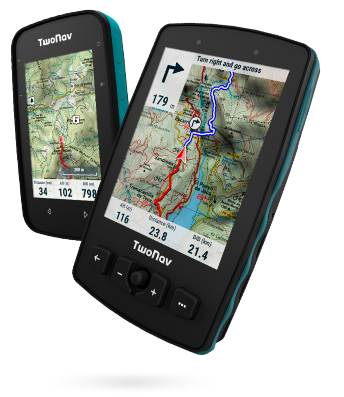
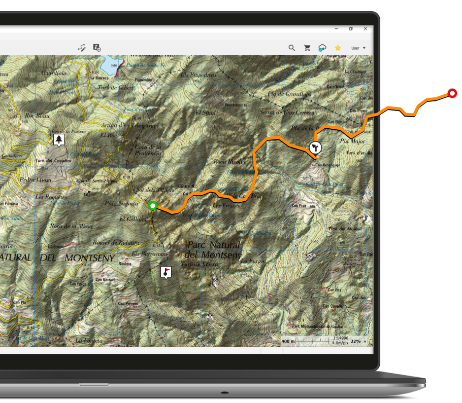
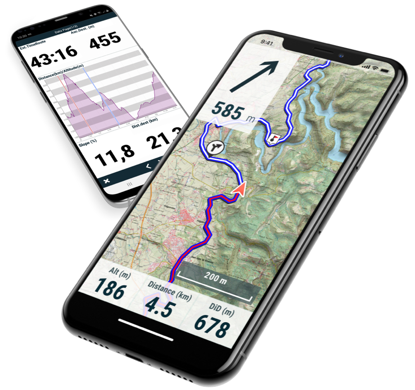
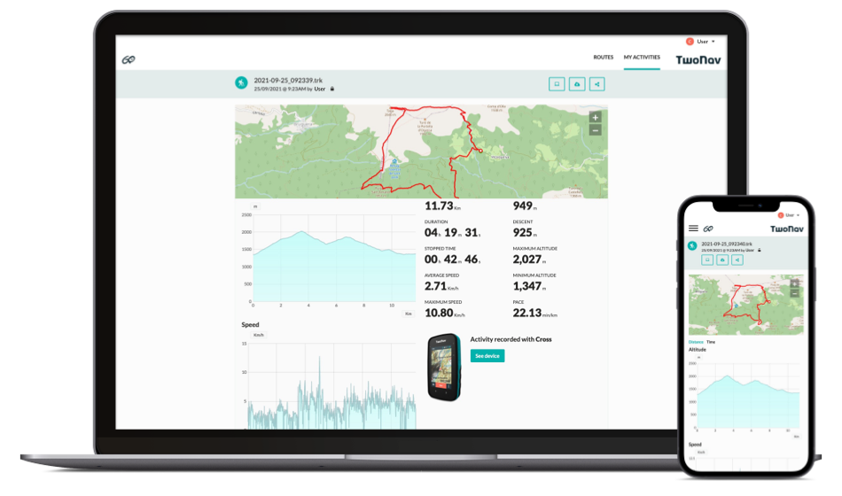
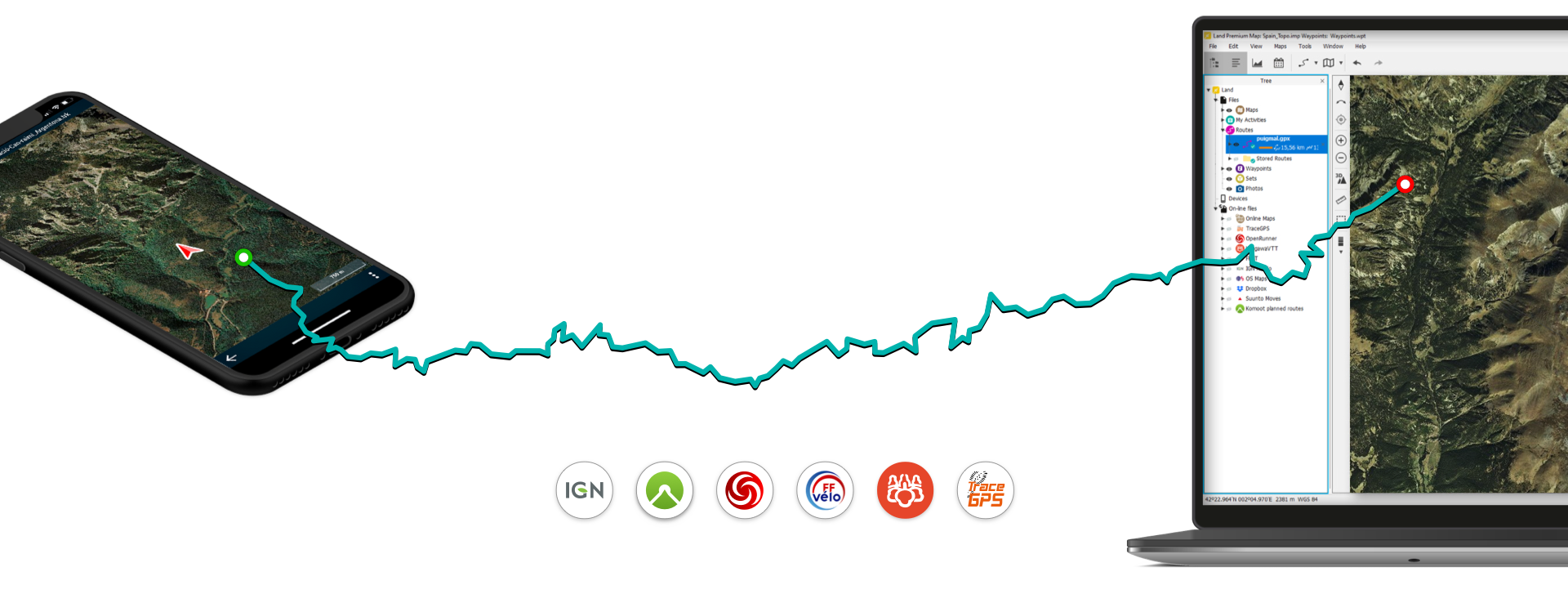
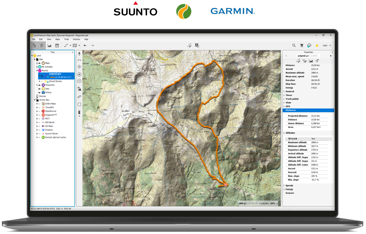
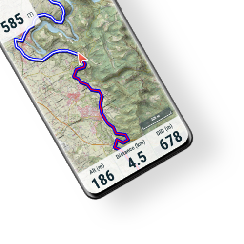
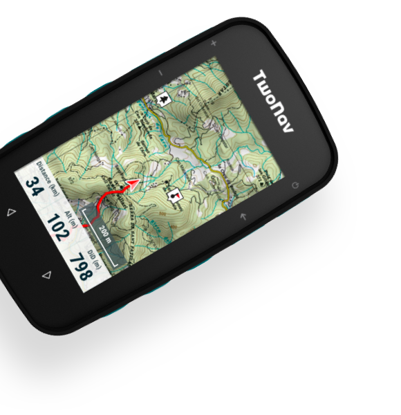
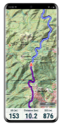
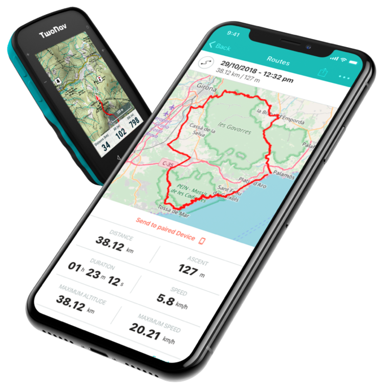
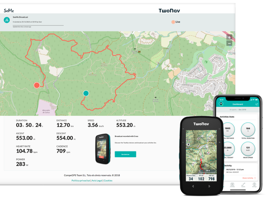
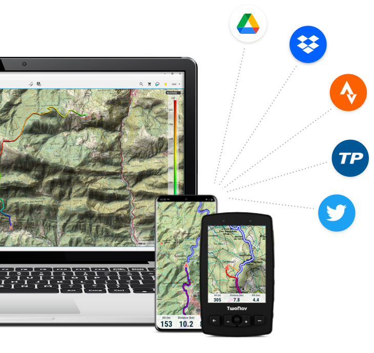
Discover Ecosystem

Your Activity

Discover how TwoNav adapts to your outdoor activity, such as hiking, cycling, motor sports, flying, water sports...

GPS Devices

At TwoNav we have a range of high-quality GPS devices for hiking, cycling, mountain biking, trail running and aerial sports, all featuring the finest navigation software on the market and the most complete maps. Choose the right GPS to guide the athlete inside you.

Learn more

Connected with:

Land

Prepare and analyze your activities on the best and biggest choice of maps. Land offers the most advanced set of tools for creating and studying your excursions in every detail.

Learn more

Connected with:

TwoNav App

Explore your environment with the best maps, travel the most spectacular routes, improve your performance and, above all, practice your outdoor activities in complete safety. Take your outings to a new level.

Learn more

Connected with:

GO Cloud

Your storage space in the Cloud, a place where your activities are synced and stored so they're available on Land, TwoNav GPS devices, TwoNav App and Link App, without the need for cables.

Learn more

Connected with:

Link App

Boost your GPS, connecting it to your mobile phone. Download Link and pair it to your GPS device via Bluetooth, so your activity data is automatically uploaded and you can receive notifications, get social and much more.

Learn more

Connected with:

Map Catalogue

TwoNav offers an extensive range of topographic maps, road maps, 3D maps, etc. Choose from our broad variety of maps of the United Kingdom, Ireland, Australia, United States, South Africa and many more countries from the main publishers: Ordnance Survey, TomTom...

Learn more

Connected with:

SeeMe

Exclusive TwoNav service that will allow you to transmit your exact position wherever you are, tracking your routes in realtime and keeping in contact with people.

Learn more

Connected with:

Connection to Third Parties

Easily share your outings with your friends and other social media followers by connecting your Go account to other services like Strava, TrainingPeaks, Twitter, Dropbox or Drive.

Connected with:

Online Route Providers

Access millions of routes online from our providers, including IGN Rando, TraceGPS, UtagawaVTT and FFCT. Download your next outing, edit it in Land and once the itinerary is ready, simply transfer it to a TwoNav GPS or to TwoNav App.

Compatible with other Brands

Land has been developed so that all GPS users, regardless of their brand (Garmin, Suunto, Polar...), can connect it and thus plan and analyze their outings. Maximum connectivity to enhance your outdoor outings.

Ecosystem

Download the TwoNav Ecosystem (as *.PDF file):

Download *.PDF
Top